
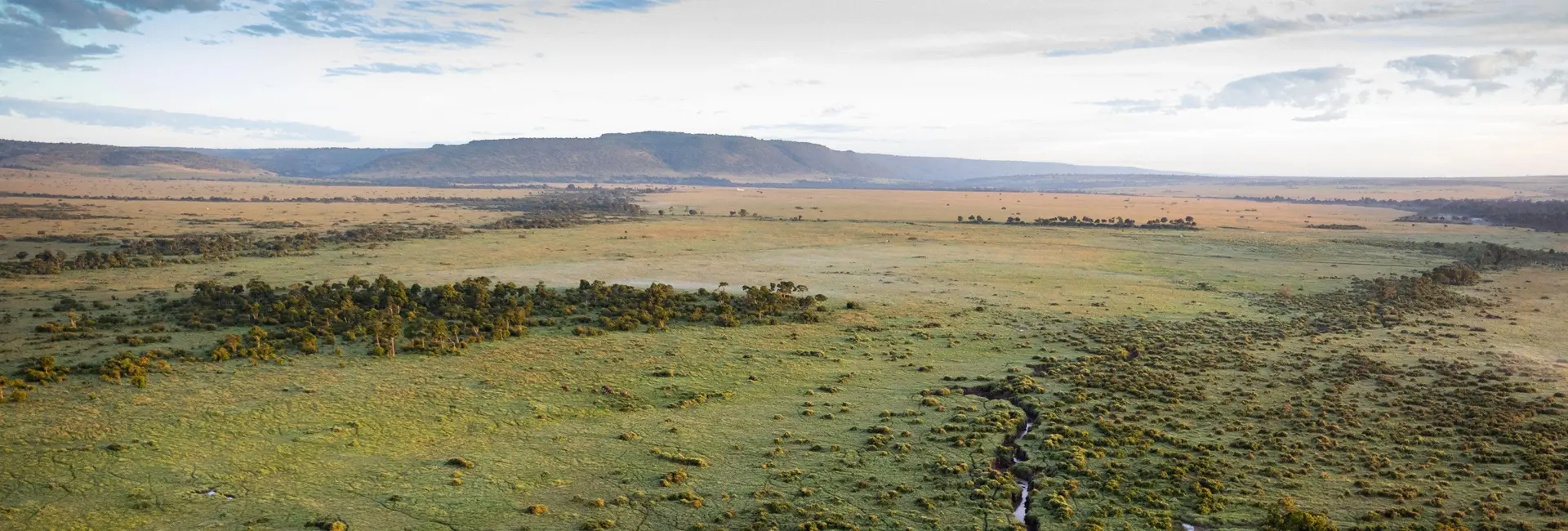
Serengeti Safari Map & Zones
The Serengeti is roughly the size of Connecticut. Understanding its four main zones — and how they connect — is the key to planning an efficient, well-timed itinerary.
Don't try to cover the whole park. Pick one priority zone based on season (Ndutu for calving, Northern for the Mara crossing, Central for year-round reliability), then add a second connecting zone if time allows.
Think in zones, not one single park
At roughly 14,750 km², the Serengeti is too large to explore as a single unit on a short trip. Instead, itineraries are built around 2-3 connected zones, chosen based on your travel dates and priorities.
Zones connect via light-aircraft airstrips (fastest) or unpaved roads (slower, more scenic) — most multi-zone itineraries mix both depending on the specific route.
It helps to picture the park as a rough diagonal running from southeast to northwest, with Central Serengeti (Seronera) sitting at the crossroads of all other zones. This is why so many itineraries use Seronera as either a starting or midway point — nearly every other zone is reachable from there by a short flight or a manageable road transfer.
The park's boundaries also blend into neighbouring conservation areas that many itineraries incorporate: the Ngorongoro Conservation Area borders the southeast (including the Ndutu plains, which technically sit partly in NCA territory), while the Maasai Mara National Reserve in Kenya continues the ecosystem north of the Mara River.
Planning tip: pick your priority zone first (based on season), then add a second connecting zone rather than trying to cover the whole park.
How zones connect
By light aircraft
The fastest way to cover long distances between zones.
- ✓ Flights depart from Arusha, Kilimanjaro, or the Ngorongoro Crater rim
- ✓ Airstrips serve Seronera, Kogatende, Grumeti, and Ndutu/Kusini
- ✓ Best for connecting distant zones like Ndutu and Northern Serengeti
By road
More affordable and scenic, but distances are significant.
- ✓ Ndutu to Northern Serengeti can take 5+ hours on unpaved roads
- ✓ Entry gates include Naabi Hill (south), Klein's Gate (northeast), Ndabaka Gate (west)
- ✓ Best for shorter connections within the same region
Planning your route
Practical guidance for building a multi-zone itinerary.
- ✓ Allow a half-day for zone-to-zone transitions
- ✓ Combine road and air: drive within a region, fly between distant zones
- ✓ Match your priority zone to your travel dates first
Sample 7-night route
A common, well-tested itinerary structure for first-time Serengeti visitors.
- ✓ Fly into Seronera (Central) for 3 nights of resident wildlife
- ✓ Fly or drive to your seasonal priority zone for 3 nights (North, Ndutu, or West)
- ✓ Combine with Ngorongoro Crater en route if travelling by road
Serengeti regions at a glance
| Zone | Best time | Known for |
|---|---|---|
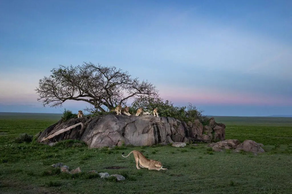
| Central (Seronera) | Year-round | Permanent water, resident predators |
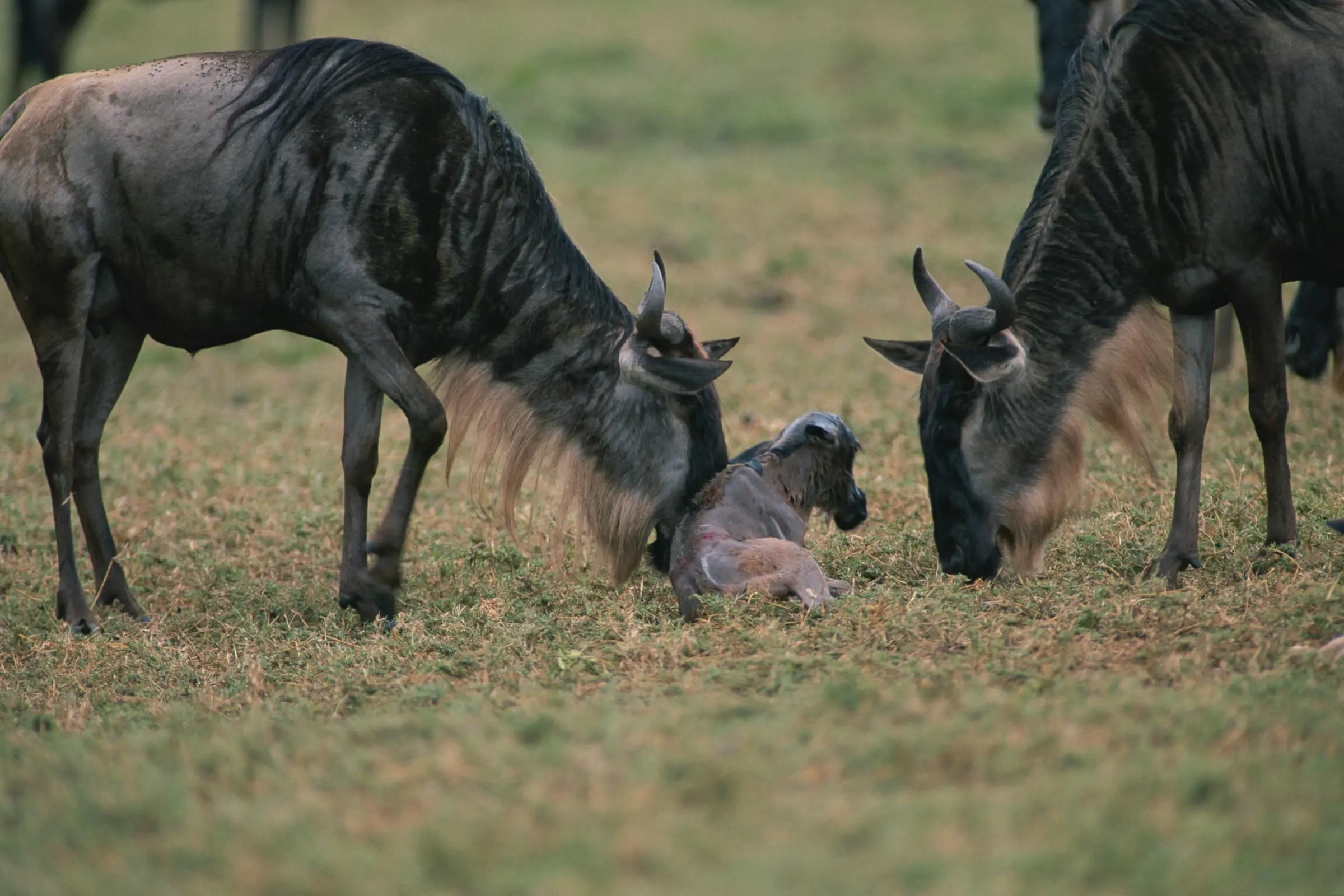
| Southern (Ndutu) | Dec-Mar | Calving season, short-grass plains |
| Western (Grumeti) | May-Jul | Grumeti River crossings, elephants |
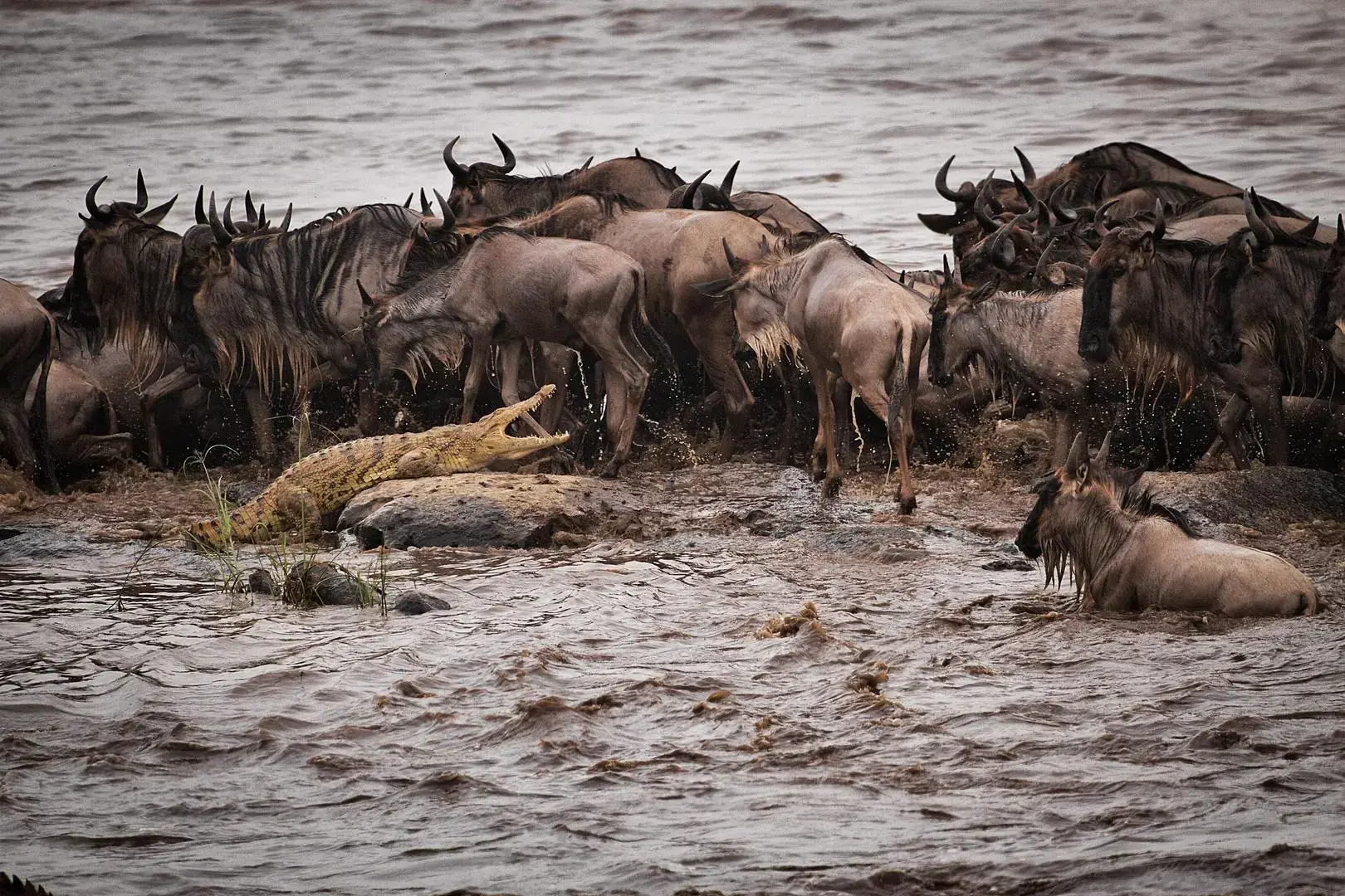
| Northern (Lamai/Kogatende) | Jul-Oct | Mara River crossings, remote & wild |
Common route-planning mistakes
Trying to visit all four zones on a short trip
It's possible on 10+ night trips, but on shorter visits it means more time travelling and less time on game drives.
Underestimating road transfer times
Ndutu to Northern Serengeti can take 5+ hours by road — check drive times before committing to a route.
Picking zones before checking the season
Each zone shines at a different time of year — match your priority zone to your travel dates first, not the other way around.
Not accounting for Central Serengeti's central role
Because Seronera sits at the crossroads of the park, it's often worth including even if it isn't your top-priority zone, simply for its convenient position between other areas.
Explore each region in detail
Map & route questions
Let us map your route
Tell us your travel dates and priorities, and we'll design an efficient Serengeti zone-by-zone itinerary.